GRASS6.3.0
Geographic Resources Analysis Support System.
Friday, September 3, 2010
- Applications
- Business

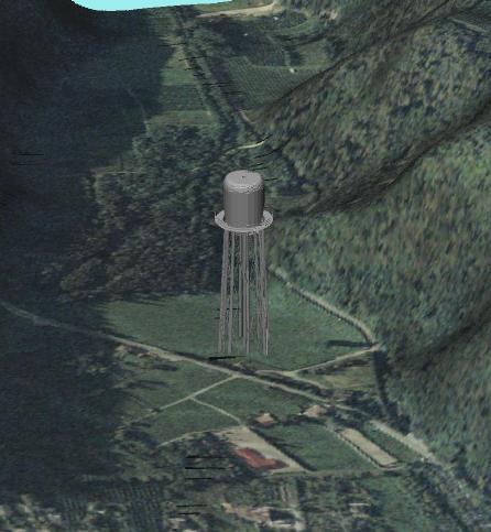
Commonly referred to as GRASS, this is a Geographic Information System (GIS) used for geospatial data management and analysis, image processing, graphics/maps production, spatial modeling, and visualization. GRASS is currently used in academic and commercial settings around the world, as well as by many governmental agencies and environmental consulting companies.
- linux
- Downloads4665
- LicenseGPL
Downloads / Release History
Comments
No comment. Be the first to enter a comment.


